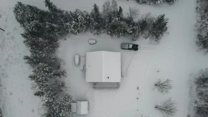

A Lake Effect snow warning has been issued for southern Erie and Crawford counties as intense snowfall, damaging winds, and near-zero visibility are expected to create hazardous—and potentially life-threatening—conditions, the National Weather Service said.
Warning Timeline and Snowfall Forecast
The National Weather Service issued the warning at 1:09 p.m. Sunday, effective from 10 a.m. Monday through 4 p.m. Tuesday. Forecasters expect heavy lake-effect snow with total accumulations up to 10 inches, accompanied by wind gusts reaching 50–60 mph.
Snowfall rates may exceed 1 inch per hour, producing sudden whiteouts as narrow but intense snow bands move through the region—conditions that can change rapidly over minutes.
Whiteout Conditions and Travel Dangers
“The heaviest snow is expected late Monday afternoon into Tuesday morning,” the NWS said. “Snowfall rates will exceed 1 inch per hour at times. Whiteout conditions are possible and could make travel treacherous and potentially life-threatening.”
Blowing snow will significantly reduce visibility, especially in open and elevated areas. The Monday evening and Tuesday morning commutes are expected to be the most impacted.
Power Outages and Safety Precautions
Strong winds could down trees and power lines, raising the risk of localized power outages. Officials urge residents to prepare emergency kits and to delay unnecessary travel.
If travel is unavoidable, drivers are advised to:
- Carry extra food, water, and a flashlight
- Keep a charged phone and winter survival supplies
- Reduce speed and increase following distance
- Be alert for snow squalls that can rapidly ice roadways
The Pennsylvania Department of Transportation and the Pennsylvania Turnpike Commission strongly recommend heeding travel restrictions.
Areas Most Affected
- Southern Erie County & Crawford County: Warning in effect
- Northern zones: ~7–9 inches
- Southern zones: ~3–6 inches
- Wind gusts: Up to 50–60 mph
Drivers should expect rapidly changing conditions on secondary roads and rural routes.
Regional Impacts Beyond Pennsylvania
Elsewhere, snow squall warnings were issued Sunday in parts of Iowa and Nebraska. Affected corridors included US-30, US-75 (near Blair, NE) and I-35, US-30, US-69 (near Ames/Boone, IA), as well as I-80 and I-235 near Des Moines—a reminder of the broader reach of winter hazards tied to cold-air outbreaks.