
Residents in Florida are preparing for heavy rains and a looming flash flood threat as a large area of disturbed weather moves west over the Sunshine State on Tuesday. This system, known as Invest 93L, has major potential to become a tropical depression, fueled by tropical moisture and tracking into the Gulf later this week, as reported by Fox Weather.
The National Hurricane Center designated this potential tropical disturbance as Invest 93L on Monday, indicating an area under increased observation for tropical development.
TROPICS UPDATE: The tropical disturbance tagged by @NHC_Atlantic as Invest #93L will track over Florida today bringing more torrential rain with the heating of the day. It has a medium chance of developing into at least a depression, especially in the north-central Gulf. More at… pic.twitter.com/8LjdG8JDKv
— Bryan Norcross (@bryannorcrosstv) July 15, 2025
What to Know About Invest 93L
With some isolated showers already around at mid-morning, there is a better chance of showers/storms today and Wed with a weak trough of low pressure in the area. Meanwhile, Invest 93L now has a 40%/40% development chance for days 2/7, with impacts to be in the northern Gulf. pic.twitter.com/va1gJVGz3n
— MoreheadCityWeather (@ctccbc) July 15, 2025
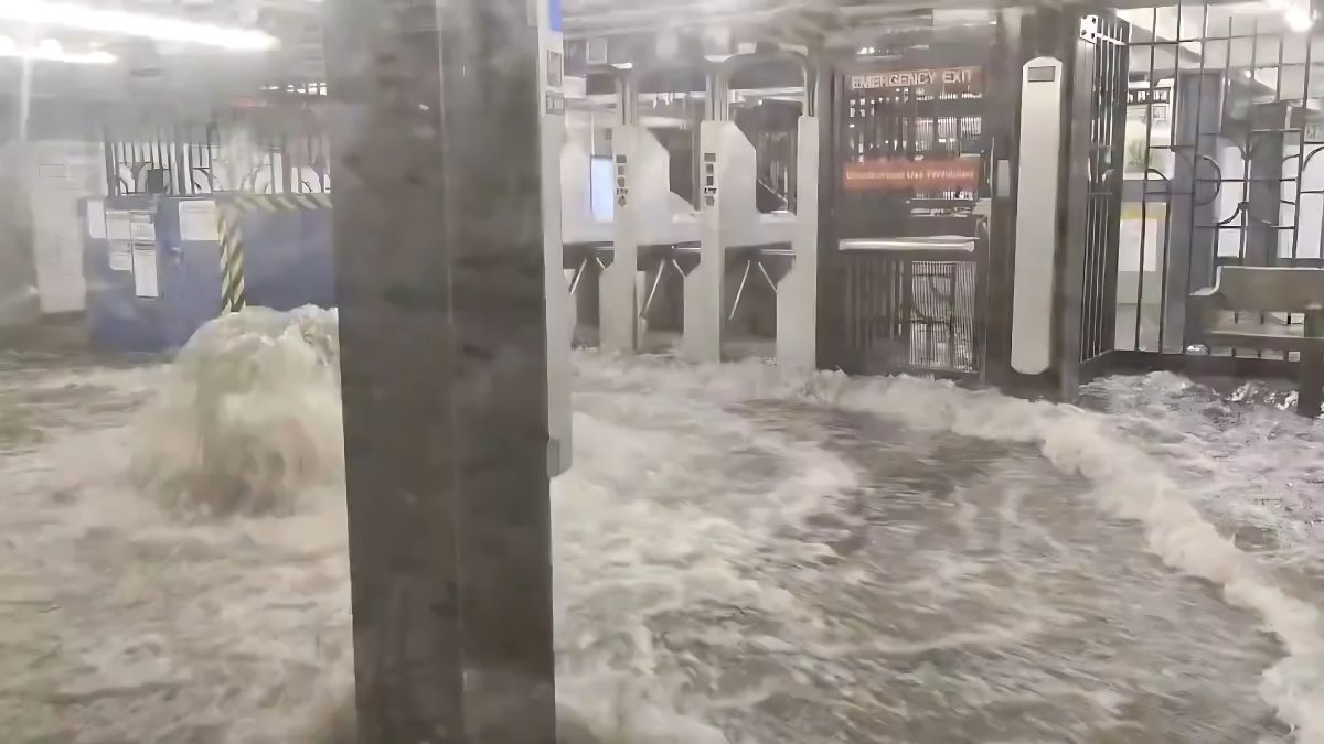
The Palm Coast and East Coast regions of Florida were hit hard by thunderstorms over the weekend, with additional rainfall anticipated this week. Invest 93L is forecasted to deliver heavy downpours and strong storms to Tampa Bay as it moves west across Florida.
On Monday, some areas experienced significant rainfall, with 6–9 inches reported south of Plant City, according to FOX 13 meteorologists. The National Hurricane Center noted that the chances for Invest 93L’s development have increased, now at a 40% likelihood over the next seven days.
While the low-pressure system has become more defined, rain and thunderstorm activity remained disorganized until Tuesday morning. The next named storm of the 2025 Atlantic hurricane season will be Dexter.
This week, the tropical moisture is expected to amplify the intensity of slow-moving storms across Florida, potentially bringing 1–3 inches of rain per hour, per the FOX Forecast Center.
Further, Hurricane Chaser Dylan Federico recently tweeted that “Computer models are locked in on Invest 93L making landfall in Louisiana between Thursday and Friday. At this point, I expect it to remain relatively weak, with the ceiling being a tropical storm. Whether or not it develops into Tropical Storm Dexter, the primary concern will be heavy rainfall and flooding. This system might have a somewhat lopsided structure, with most of the heavier rain bands focused on the southern side. We’ve seen similar setups in the past, like Tropical Storm Edouard in 2008 and Barry in 2019, which followed comparable tracks and had a similar look. Stay tuned!”
GULF UPDATE – Computer models are locked in on Invest #93L making landfall in Louisiana between Thursday and Friday. At this point, I expect it to remain relatively weak, with the ceiling being a tropical storm. Whether or not it develops into Tropical Storm #Dexter, the primary… pic.twitter.com/4zuadtUNX3
— Dylan Federico (@DylanFedericoWX) July 15, 2025
Rainfall Predictions and Severe Thunderstorm Risks
Forecasters predict 2-3 inches of rainfall across Florida’s Gulf Coast and inland areas through Thursday. Some locations may even see rainfall accumulations of 3-5 inches.
Additionally, the Storm Prediction Center has issued a Level 1 out of 5 risk for severe thunderstorms throughout the state. Heavy rains are also possible along the Gulf Coast from Alabama to Louisiana, including the New Orleans area.
According to News6, the low pressure could shift west across Central Florida on Tuesday and may emerge over the northeastern Gulf by Wednesday.
Stay tuned for further updates on Invest 93L and the potential impacts of this significant weather event. Stay safe!
