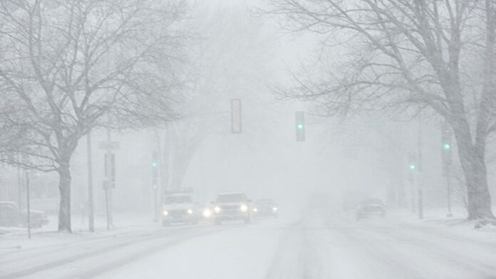
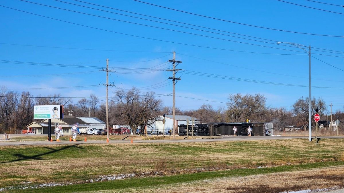
A major winter storm sweeping across the Central and Northeastern United States has triggered school closures, schedule changes and travel warnings. Winter weather advisories and storm alerts were issued Monday as snowfall intensified, prompting districts to shut early or prepare for closures on Tuesday.
Forecasters say some areas could see up to a foot of snow, and additional warnings were issued Monday afternoon as conditions worsened.
School Closures Across Multiple States
Many districts dismissed students early on Monday, including those in the St. Louis area, as the winter storm moved across the region. Others announced Tuesday closures or delays due to increasingly dangerous road conditions.
Massachusetts
According to WWLP, the following schools will be closed:
– The Bement School
– Greenfield Center School
– Mohawk Trail Regional School District
– Neari School
– Rowe Elementary
New Hampshire
WMUR reports dozens of closures for Tuesday, including: Acworth Elementary School, Alstead Primary School, Barrington Elementary School, Campton Elementary School, Conant Middle High School, Cutler Elementary School, Dover School District, Fall Mountain Regional High School, and more.
Ohio
Columbus City Schools, Hilliard City Schools and Hocking County schools will either close or operate with delays.
New York
– Haverstraw–Stony Point School District: Two-hour delay
– Liberty Central School District: Closed
New Jersey
– Netcong Elementary School: 90-minute delay
Michigan
– Two-hour delays: Bedford Public Schools, Monroe Public Schools, MCISD Ed Ctr/Trans Ctr, Triumph Academy
– Closed: Lenawee Christian School, Ida Public Schools
Virginia
Franklin and Albemarle County schools, along with Galax city schools, will operate on two-hour delays, WSET reported.
Pennsylvania
Bermudian Springs, Gettysburg Area and Conewago Valley districts will run on two-hour delays.
Connecticut
More than a dozen schools will be closed, according to NBC Connecticut.
Winter Storm Forecast: More Snow and Difficult Travel
The National Weather Service (NWS) has warned that heavy snow and icy roads could impact both Tuesday morning and evening commutes. Additional closures are expected late Monday or early Tuesday.
In New York, the heaviest snowfall is likely from Tuesday morning through early afternoon, with potential snowfall rates above 1 inch per hour, NWS meteorologist Bryan Greenblatt told Newsweek.
Washington Post meteorologist Ben Noll wrote on X: “Widespread school closings are expected in the #HudsonValley on Tuesday,” adding that winter storm watches had been issued for several counties.
He also noted, “The Hudson Valley’s first winter storm is gathering in the Midwest on Monday and will reach the region on Tuesday morning.”
In a winter storm warning from its Gray, Maine office, the NWS advised: “Persons should delay all travel if possible. If travel is absolutely necessary, drive with extreme caution and be prepared for sudden changes in visibility… Avoid sudden braking or acceleration, and be especially cautious on hills or when making turns.”
A Monday NWS update added that much of New England and the Mid-Atlantic will experience “enhanced winter precipitation and possible gusty winds,” calling it “the first impactful winter storm of the season.”
The agency said snowfall totals remain uncertain, but more than 6 inches is possible north and west of the I-95 corridor.


