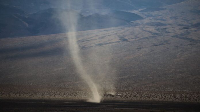
A large portion of southeast Texas, including the Houston metro area, was placed under a tornado watch on Monday as fast-moving thunderstorms intensified ahead of a sharp cold front. The National Weather Service (NWS) said the watch will remain active until 7 PM CST across wide areas of Texas and Louisiana.
Earlier in the day, a tornado warning was issued for Harris, Montgomery and Waller counties after radar identified a severe thunderstorm near Cypress capable of producing a tornado.
A tornado watch has been issued for parts of Louisiana and Texas until 7 PM CST pic.twitter.com/hVfn9F9o1N
— NWS Tornado (@NWStornado) November 24, 2025
Storm Near Cypress Moves Quickly, Prompts Urgent Alerts
According to NWS forecasters, the storm near Cypress was moving northeast at nearly 30 miles per hour, sending unstable air across northern and western parts of Houston. Officials urged residents to take shelter immediately and monitor weather updates as conditions shifted rapidly.
Cities under the same tornado watch window included College Station, Conroe, The Woodlands, Huntsville, Brenham, and Missouri City, highlighting the widespread nature of the threat.
Cold Front Fuels Dangerous Thunderstorms Across the Region
Meteorologists say the incoming cold front triggered rapid storm development, with Gulf moisture being forced upward—creating ideal conditions for:
- Damaging winds
- Large hail
- Isolated tornadoes
- Sudden pockets of rotation
The strongest storms were expected north of I-10 and west of I-45, where atmospheric instability was highest. Though the system is projected to weaken late Monday night into early Tuesday, forecasters warned that embedded storms may still spin up tornadoes with little notice.
Travel Delays Hit Airports as Weather Deteriorates
Heavy rain and strong winds earlier in the day disrupted flights across North Texas, creating ripple effects for Houston’s George Bush Intercontinental Airport and Hobby Airport. Aviation officials cautioned travelers to expect additional delays through Monday night due to ongoing weather-related disruptions statewide.
Tornado Touches Down in Houston, Causes Visible Damage
A tornado formed in central Houston Monday afternoon and moved northeast during the active NWS thunderstorm warning. The storm initially developed in Cypress, passed through the Willowbrook area, and later hit Jersey Village, causing significant damage.
Photos and videos on social media showed:
- Uprooted trees
- Fallen power poles
- Structural damage across multiple neighborhoods
Another powerful supercell formed near Cypress Forest and Loretta Road at around 1:45 PM, with videos surfacing from Spring and surrounding areas.
Tornado Warned Storm earlier when passing over Willowbrook area @StormChaserHTX pic.twitter.com/ax6PL6qLiv
— Go Coogs (@htxpierce) November 24, 2025
Houston Storm Chasers also shared video footage of the rotating supercell over Cypress, showing the intensity of the developing storms.
Severe Weather Expands Across Texas
The NWS placed multiple Texas regions under tornado warnings throughout Monday, including:
- Brazos Valley
- Houston Metro
- East Texas Pineywoods
The outbreak is part of a broader severe weather system fueled by:
- Strong wind shear
- Gulf moisture
- A fast-moving low-pressure system
- High atmospheric instability
A tornado watch remains active in the Houston metro until 7 PM CST. While early warnings covered Harris, Montgomery, Waller, and Fort Bend counties, some warnings were later cancelled as storms shifted.


